Connecticut
Maine
Massachusetts
New Hampshire
Rhode Island
Vermont
Want to advertise on NewEnglandSkiHistory.com?
King Ridge Ski Area Images
Return to King Ridge Ski Area Profile
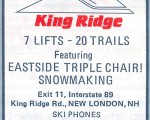
King Ridge Ski Area Vintage Ads
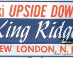
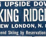
King Ridge
1964-65 Eastern Ski Map
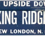
King Ridge
1965-66 Eastern Ski Map
King Ridge
1966-67 Eastern Ski Map
King Ridge
1967-68 Eastern Ski Map
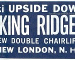
King Ridge
1970-71 Eastern Ski Map
King Ridge
1971-72 Eastern Ski Map
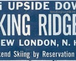
King Ridge
1987-88 Eastern Ski Map
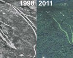
King Ridge Ski Area Then and Now
King Ridge
King Ridge Aerial Imagery, 1998 vs. 2011
See also: Lifts and Maps at
King Ridge Ski Area Profile
Advertisement
Topics
Links
What's New
Feedback
Copyright 2002-2024, All Rights Reserved.