Connecticut
Maine
Massachusetts
New Hampshire
Rhode Island
Vermont
Want to advertise on NewEnglandSkiHistory.com?
Stratton Mountain Images
Return to Stratton Mountain Profile
Stratton Mountain Vintage Ads
Stratton
1962-63 Eastern Ski Map
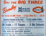
Stratton
1964-65 Eastern Ski Map
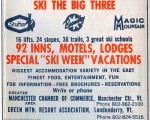
Stratton
1965-66 Eastern Ski Map
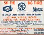
Stratton
1966-67 Eastern Ski Map
Stratton
1967-68 Eastern Ski Map
Stratton
1971-72 Eastern Ski Map
Stratton Mountain Then and Now
Stratton Mountain
Stratton Aerial Imagery, 1992 vs. 2010
See also: Lifts and Maps at
Stratton Mountain Profile
Advertisement
Topics
Links
What's New
Feedback
Copyright 2002-2024, All Rights Reserved.