Connecticut
Maine
Massachusetts
New Hampshire
Rhode Island
Vermont
Want to advertise on NewEnglandSkiHistory.com?
Bretton Woods Ski Area Images
Return to Bretton Woods Ski Area Profile
Bretton Woods Ski Area Vintage Ads
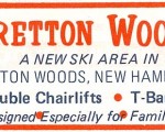
Bretton Woods
1972-73 Eastern Ski Map
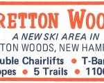
Bretton Woods
1973-74 Eastern Ski Map
Bretton Woods
1977-78 Ski The White Mountains Brochure
Bretton Woods
1983 Boston Phoenix
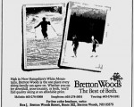
Bretton Woods
1984 Boston Phoenix
Bretton Woods Ski Area Then and Now
Bretton Woods
Bretton Woods Aerial Imagery, 1993 vs. 2011
See also: Lifts and Maps at
Bretton Woods Ski Area Profile
Advertisement
Topics
Links
What's New
Feedback
Copyright 2002-2024, All Rights Reserved.