Mt. Whittier
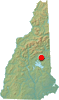
Tamworth, New Hampshire
Overview
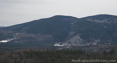
 Not to be confused with the Mt. Whittier ski area on nearby Nickerson Mountain in West Ossipee, 2,205 foot Mt. Whittier in Tamworth was home to a CCC alpine ski trail.
In addition to featuring the Mt. Whittier ski trail, a cabin was also built near the summit of the mountain. Numerous giant slalom races were held on Mt. Whittier, in addition to slalom races at nearby Page Hill ski area. Groups involved in the trail included the Tamworth Outing Club and the Tamworth Trail Trampers.
Trails on Mt. Whittier
 Mt. Whittier Trail - Abandoned
The Mt. Whittier Trail was likely cut by the CCC in the mid to late 1930s. Due to the gradual topography of the summit of Mt. Whittier, the trail started partway down the peak, heading in a northwesterly direction. The cabin was constructed at elevation 2,000 feet.
The upper portion of the trail was considered "expert" and "very fast," drawing comparisons to the Wildcat Ski Trail. The lower portion was considered novice.
In addition to hosting numerous giant slalom races in the 1940s and perhaps 1950s, the Mt. Whittier Trail may have been used as recently as the 1970s by collegiate teams.
The rerouting of Route 25 from Whittier Village (now Whittier Road and Route 113) to its present day location circa 1970 may have also hastened the demise of the trail.
Quotes
| " |
And it has built a log hut, with a stove in it, at the top of Mt. Whittier Trail (right near Route 25).
|
" |
|
"Tamworth Ski Region" Brochure, Tamworth Outing Club, 1941
| |
| " |
Mt. Whittier: Challenge to the real skier. Length 1.4 miles, width 30'-100', vertical descent 1650', max. grade 35. Snow needed, 18". CABIN at top, with stove. Intermediate (use caution) & Expert.
|
" |
|
"Tamworth Ski Region" Brochure, Tamworth Outing Club, 1941
| |
| " |
Six members of the "Tamworth Trail Trampers" have sidestepped the full width and length of the mile-and-a-quarter Mt. Whittier ski trail from the base to the hut at the top, it has been announced by Richard Reed.
After six hours of steady-tramping, the trail offers really excellent skiing conditions, with no icy places or bare spots. As the Mt. Whittier trail is almost as difficult as the Wildcat trail, a skier should, before attempting to run it, have at least a well controlled stem turn in his bag of tricks. The Page Hill slope, which is also in splendid condition now and offers a tow, is recommended for novices.
The road from Route 25 to the Mt. Whittier trail three miles from West Ossipee and the ample parking area at the base of the trail are now all plowed out for the benefit of spring skiers.
|
" |
|
Lowell Sun, March 14, 1941
| |
| " |
The Tamworth Trail trampers have side-stepped the full width and length of the mile-and-a-quarter Mt. Whittier ski trail but if you haven't got a well-controlled stem in your repertoire, we suggest you keep away.
|
" |
|
Biddeford Daily Journal, March 14, 1941
| |
| " |
The trail was laid out by Charlie Proctor of the Dartmouth ski program back in the late 1930's. The trail was cut by either the CCC or the WPA as a work project. It was on the land of Walter & Mabel Evans.
|
" |
|
Tamworth Civic News, January 15, 1999
| |
Images
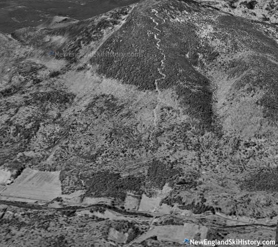
3D rendering of the 1956 aerial
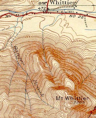 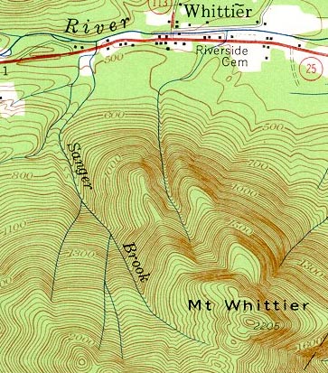
1931 and 1958 USGS topographic maps (trail was to the right of two ridges)
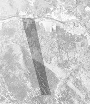
1956 Aerial Photo of the Mt. Whittier Ski Trail
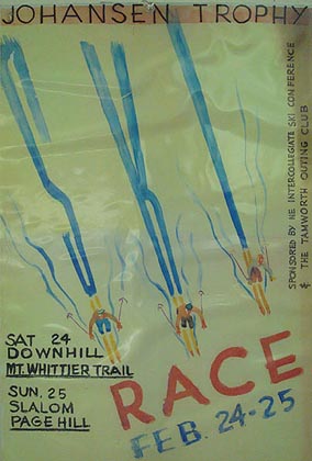
1940s Mt. Whittier Race Poster
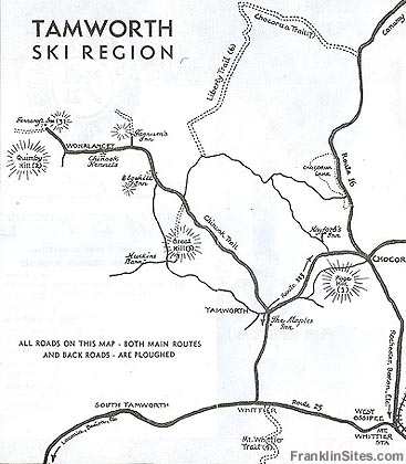
1941 Mt. Whittier Location Map
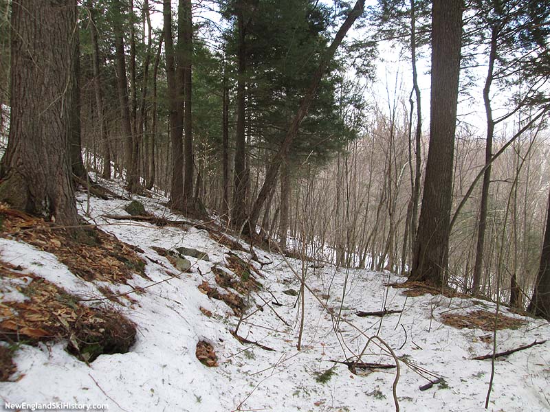
Possible lower trail remnants in April 2015
Possible middle trail remnants April 2015
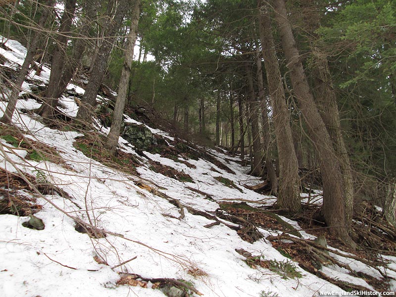
Possible remnants of the big turn in April 2015
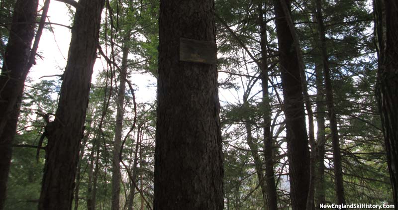
Likely one of the old turn signs (2015)
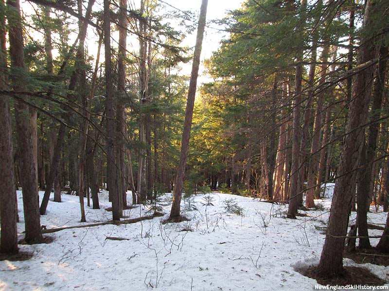
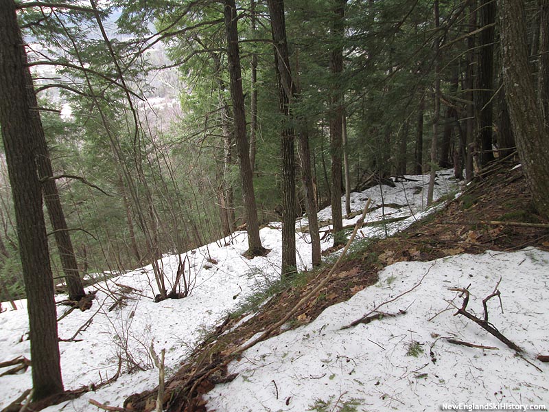
Possible middle trail remnants April 2015
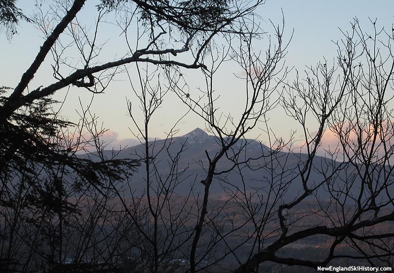
The Mt. Chocorua view (2015)
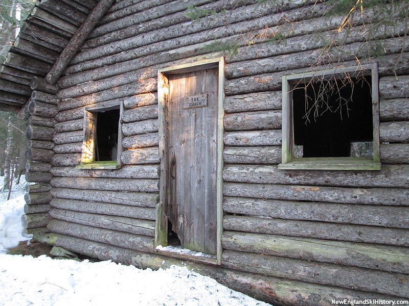
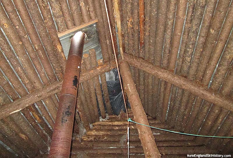
The front of the cabin near the top of the trail (2015)
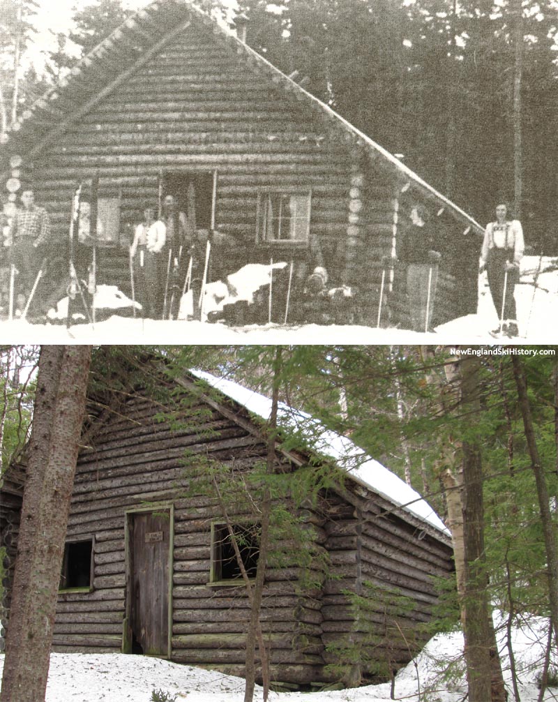
Mt. Whittier Cabin, circa late 1930s or early 1940s and 2015
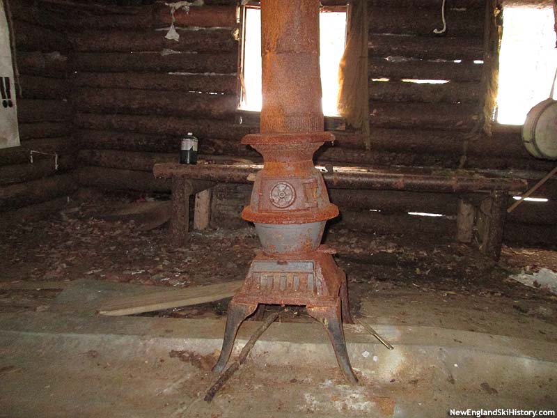
The stove (2015)
The stove (2015)
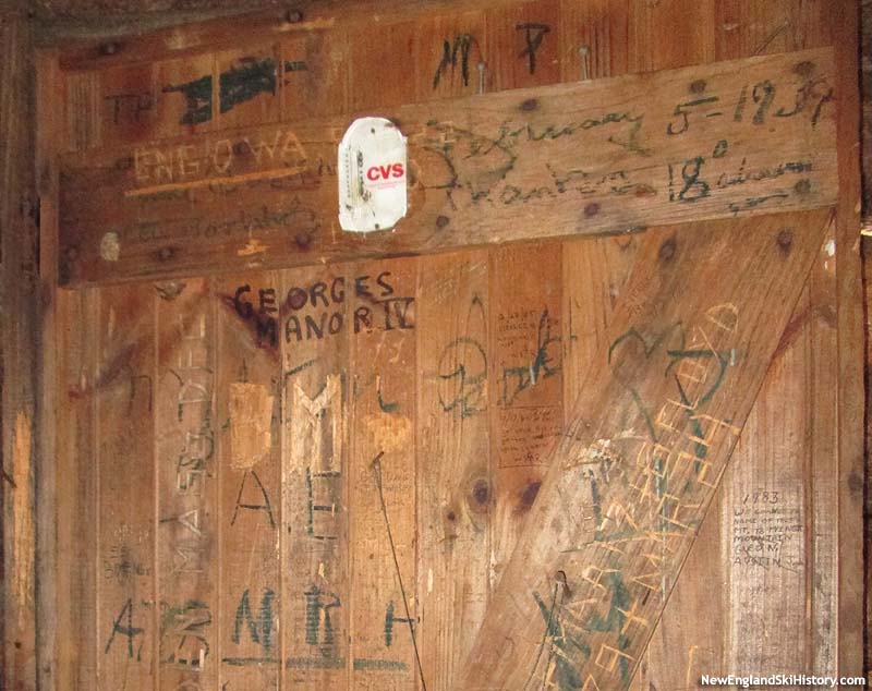
Carvings on the back of the front door (2015)
Resources
Page Hill Ski Area - New England Lost Ski Areas Project - where related slalom races were held
Mt. Whittier Ski Area - NewEnglandSkiHistory.com - a nearby lift served ski area
Last updated: April 19, 2020
|
