Bean Hill
Northfield, New Hampshire
Overview
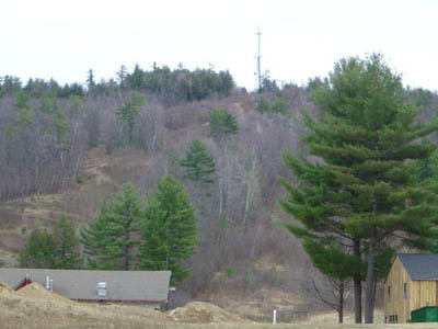
 Located southeast of Tilton, Bean Hill is perhaps best known for being home to the Highlands Ski Area from 1968-1995. Prior to the construction of the alpine ski area, Bean Hill was home to an alpine ski trail named the Bean Hill Trail.
After the closure of the Highlands Ski Area, the trails continued to be skied for nearly a decade, leading up to the construction of Highland Mountain Bike Park in 2003.
Trails on Bean Hill
 Bean Hill Trail - Abandoned
The Bean Hill was cleared for skiing by the mid 1930s. It is not known if the CCC was involved in the construction. Generally novice in nature, the majority of the trail was likely incorporated into the Highlands Ski Area (1968-1995), and later into the Highland Mountain Bike Park, starting in 2006.
Quotes
| " |
Bean Hill Trail (WMNF)
1. Location - At Tilton Center R. R. crossing take road into Northfield. At abandoned schoolhouse pick up trail S. to ravine. Trail runs S. to summit.
2. Length - .75 mi.
3. Width - 12-20'.
4. Max. Grade - 15º.
5. Vertical Drop - 500'.
6. Exposure - N. 18" snow.
7. Good trail for novices, but interesting for intermediates because of several pitches and sharp turns.
|
" |
|
Skiing New Hampshire, 1935-1936
| |
| " |
Bean Hill Trail. At Tilton Center R.R. crossing take road into Northfield. At abandoned schoolhouse pick up trail S. to ravine. Trail runs S. to summit. Length 0.75 m. Max grade 15º. Good trail for novices, but interesting for intermediates because of several pitches and sharp turns.
|
" |
|
New Hampshire: A Guide to the Granite State, 1938, p.531
| |
| " |
Bean Hill Trail--Length 0.75 miles, 15 degree slope. Width: 12 to 20 feet. Vertical drop: 500 feet. Exposure: north. Needs 16" of snow to ski. Good trail for novices, but interesting for intermediates because of several pitches and sharp turns. Many open slopes nearby.
|
" |
|
The Skier's Guide to New England, 1939
| |
Images
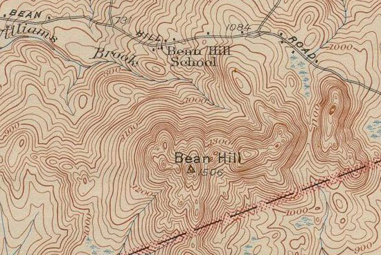
1927 USGS Topographic Map of Bean Hill
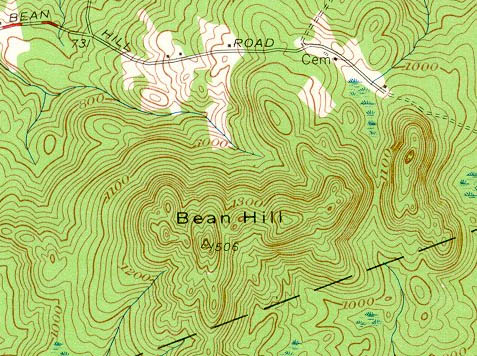
1956 USGS Topographic Map of Bean Hill
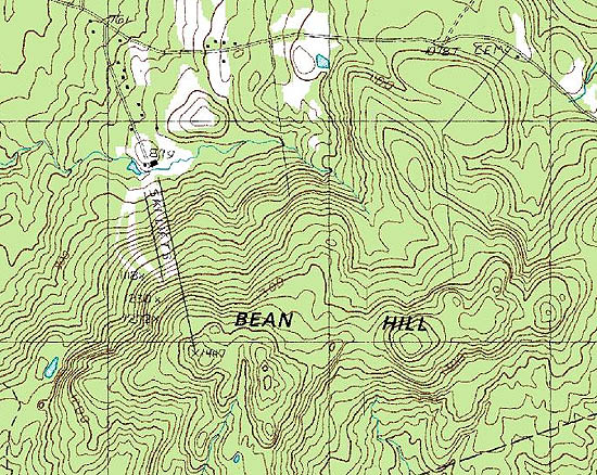
1987 USGS Topographic Map of Bean Hill
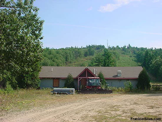
The ski area base lodge in 2002
The ski area T-Bar lift in 2002
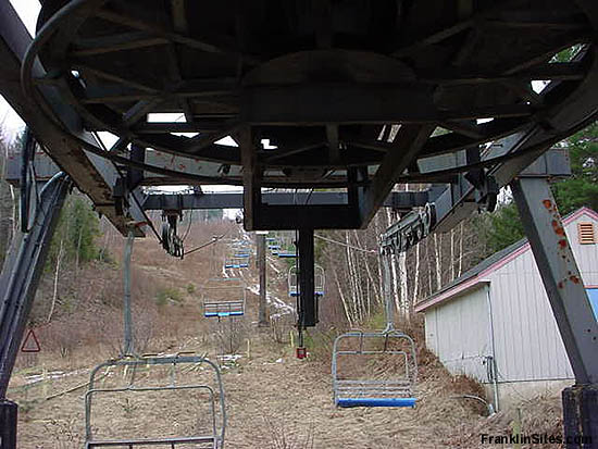
The ski area triple chairlift in 2002
The ski area triple chairlift in 2002
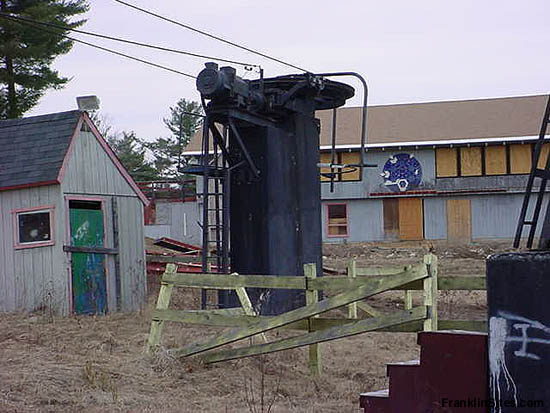
The ski area base area in 2004
Resources
Highland Mountain Bike Park
Highlands - NewEnglandSkiHistory.com
Highlands - New England Lost Ski Areas Project
New Hampshire: A Guide to the Granite State. Boston, MA: The Riverside Press, 1938.
New Hampshire Skiing. Concord, NH: State Planning and Development Commission, 1935.
Last updated: September 14, 2016
|
